RAM Inc. offers video tutorials for ShapeMetrix 3D and ShapeMetriX UAV.
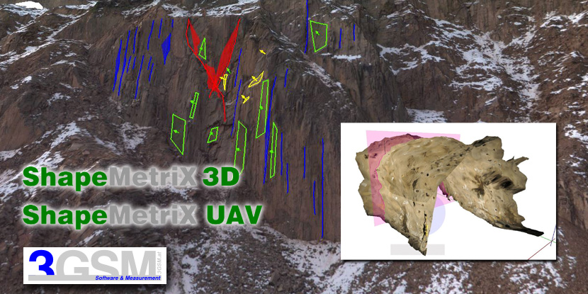
ShapeMetrix 3D - Dedicated software enables digital rock mass characterisation including geometric measurements and geologic mapping capabilities.
ShapeMetrix UAV - Photographs from an off-the-shelf drone generate to comprehensive, highly accurate 3D models. The ShapeMetriX package includes geologic mapping mapping capabilities, as well as geometric measurements including volumetrics.
ShapeMetriX 3D Software Video Tutorials
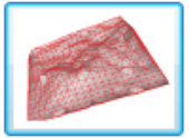
Reconstruction Assistant
Generates a 3D model using stereo image pairs.
Click here to play RecAssistant Tutorial
Surface Trimmer
Module used to trim 3D model and set reference plane.
Click here to play Surface Trimmer Tutorial
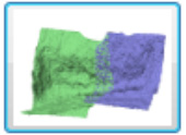
Model Merger
Module for merging up to twelve 3D images into one co-ordinate system.
Click here to play Model Merger Tutorial
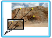
Referencer
Module for transforming a generic 3D image into a georeferenced, metric 3D image using reference points with known 3D co-ordinates.
Click here to play Referencer Tutorial
Analyst
Module for rockmass characterization and underground blast performance quantification.
Click here to play Analyst Tutorial

High-end computer vision software for rock mass characterization and blast optimization.

Software enables digital rock mass characterization including measurements and geologic mapping

Aerial 3D images allow for an optimal acquisition of the bench face and blast site geometry

