 Does your operation require accurate drill logs? If not, it can be a significant liability. Not identifying changing geologic conditions can lead to misfires, flyrock, high air overpressure and poor blast performance.
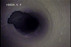
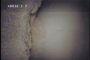
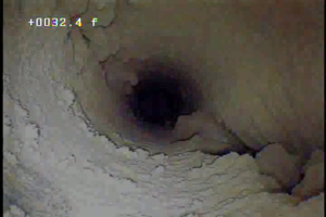
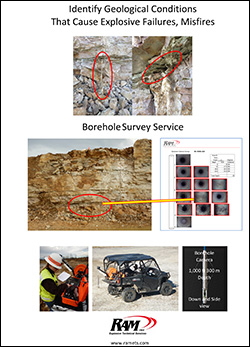
Borehole camera surveys help identify and confirm changing conditions such as soft seams and cavities providing critical information needed for safe and optimized blasting. Surveys can be used to verify measure-while-drilling reports and manual drill logs to site conditions.
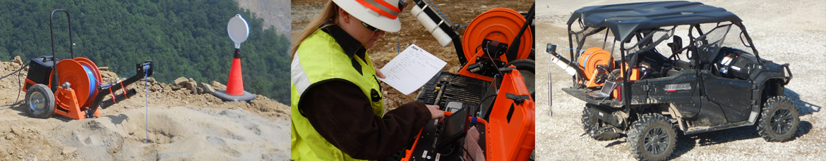
Our services provide down-hole and side view, video and still images to help the driller and blaster better understand the geologic condition to improve drill log accuracy, blast safety and performance.